Whether it’s a house lot or a few acres, it’s worth knowing exactly what you own. The survey tells you, once you can read it.
Quick answer Start with the title block, north arrow, scale and legend. Each boundary line is labeled with a bearing (its direction, like N 35°10’35” E) and a distance in feet. Corners are marked by monuments, usually iron pins, noted as found or set. Dashed or hatched areas are often easements. The legal description ties it all to a lot and block or to a section, township and range.
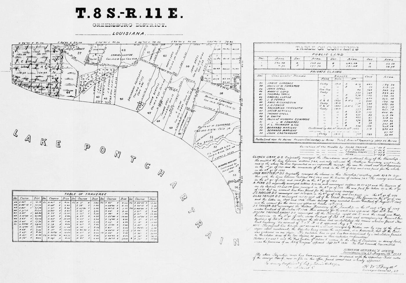

What you need
- A copy of your survey or recorded plat (from your closing papers, the county, or the Arkansas Division of Land Surveys plat search)
- A ruler or engineer’s scale
- A highlighter
How to read it
- Know which document you have. A plat is the recorded map of how a subdivision or piece of land was divided into lots, streets and easements. A survey of your parcel, done by a licensed surveyor, shows your boundaries and usually the buildings and other improvements on the ground when it was done.
- Read the title block. It names the property, owner or client, surveyor, date and the surveyor’s seal. Note the date: an old survey may not show newer fences or buildings.
- Orient it. Find the north arrow and the scale (for example, 1 inch = 50 feet). Then check the legend for what each symbol and line type means.
- Find the boundary. The heavy solid line is usually the outer boundary of the parcel. Trace it with a highlighter.
- Read the bearings. A bearing like N 35°10’35” E means: face north, then turn 35 degrees, 10 minutes, 35 seconds toward east. That’s the direction of that line.
- Read the distances. Lengths are in feet, often to the hundredth (125.50′ is 125 and a half feet). Curved lines are labeled with curve data like radius and arc length.
- Find the corners. Symbols at the corners show the monuments, such as iron pins, rebar, pipes, concrete or stone. “Found” means it was already there; “set” means the surveyor placed it.
- Spot easements and setbacks. Utility, drainage and access easements are often drawn as dashed or hatched strips with their width. Building setback lines show how close you can build to the line.
- Read the legal description. In a subdivision it’s usually lot and block. Rural Arkansas land is usually described by section, township and range, often with a metes-and-bounds description that walks the boundary line by line.
Safety: A survey or plat on paper tells you where the line is supposed to be. Before you build a fence or a building close to a line, have a licensed surveyor stake it on the ground.
From https://www.djgaston.com/read-a-property-survey/ · Updated October 22, 2026